|
Using DSS Sources
|
|
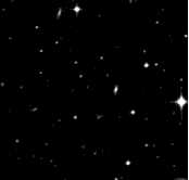
Sometimes, the field covered by
an image
does not contain enough stars from the
HST Guide Star Catalog to fit a world coordinate
system. For the image at the left with this header
NAXIS1  =                  251
NAXIS2  =                  239
DEC     =         -25:15:01.90
RA      =           5:47:56.50
PLTSCALE=                 1.16
EPOCH   =                2000.
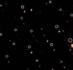
imgsc only finds two stars:
$ > imgsc -v i17h.fits
6494.1679 5:47:46.414 -25:15:18.83 12.03 243.5 104.9 0
6494.1659 5:47:58.613 -25:12:55.80 14.24 100.8 228.2 0
|
Click on image for larger version
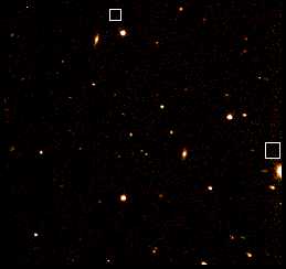
In such a case,
imsize can be used to get the nominal region
of the sky covered by the image:
$ > imsize -d i17h.fits
i17h  5 47 56.500 -25 15 01.90  4.833 4.601
Click on image for larger version
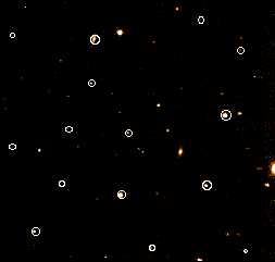
The following command will then find stars in the image, match them to the
reference catalog which has been made from the DSS image, fit a world
coordinate system and write out a new image file.
$ > imwcs -wv -i 100 -c i17h.dss.fits.stars i17h.fits
|
The output image file contains standard FITS world coordinate system keywords
and a logging keyword showing what version of imwcs fit the WCS:
RA      = ' 5:47:57.212'
DEC     = '-25:14:39.86'
EQUINOX =                 2000
CTYPE1  = 'RA---TAN'
CRVAL1  =         86.988383321
CRPIX1  =             125.5000
CDELT1  =         -0.000317639
CROTA1  =                0.281
CTYPE2  = 'DEC--TAN'
CRVAL2  =        -25.244406126
CRPIX2  =             119.5000
CDELT2  =          0.000317639
CROTA2  =                0.000
IMWCS   = 'IMWCS 1.0,28 Aug 1996,Doug Mink,SAO'
|
Click on image for larger version
![[Telescope Data Center]](http://tdc-www.harvard.e
du/images/tdc.icon.gif) [WCS programs]
[IMWCS]
[WCS programs]
[IMWCS]